Event Details
When:
-
Location:
Online: Zoom
And In-Person at WWU
Academic Instructional Center West
Room 204
Price:
Free
Brought to you by:
College of the Environment, WWU Alumni Association
Description
Check out this video to watch the Environmental Speaker Series Presents: Forests in the Age of Big Data.
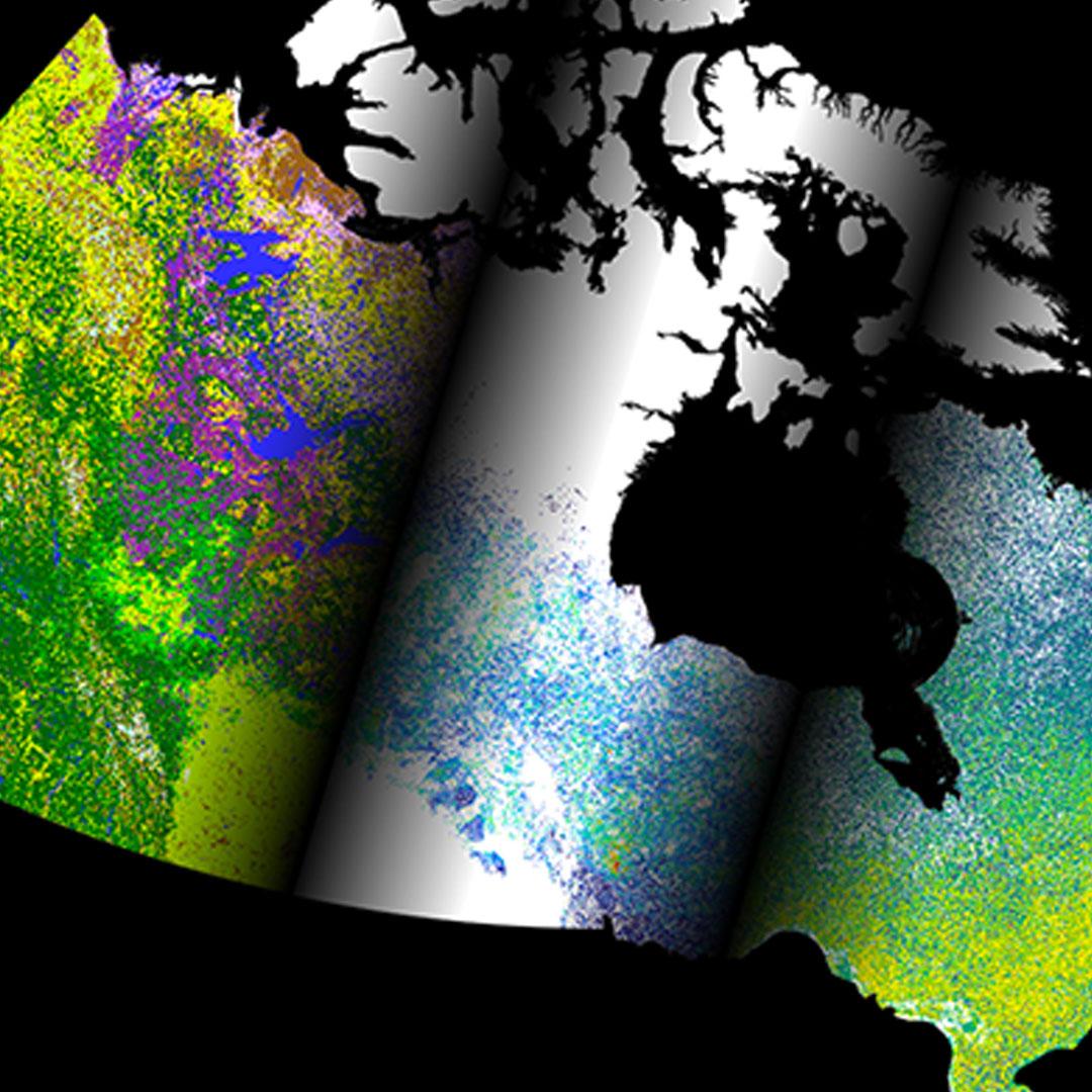
Canada’s forests represent about 9% of the world’s total forest area and, as a result, understanding and managing them have great ecological, economical, and cultural implications at both continental and global scales. As much of Canada’s forests lie in remote areas, measuring and monitoring them is challenging without earth observation data from sensors on airplanes and satellites. In this presentation, I will describe the big data revolution in the field of forest remote sensing and describe how the availability of satellite-derived datasets can be used to observe changes, estimate composition and structure, and predict future attributes such as wildfire susceptibility in Canadian forests.
The Environmental Speaker Series is free and open to the public. Talks are held each Thursday at 4:30pm in Academic Instructional Center West, room 204. Paid parking is available in lot C. Or join us online on Zoom!
Featuring:
Dr. Chris Mulverhill, Speaker
Dr. Chris Mulverhill is a postdoctoral research fellow at the Integrated Remote Sensing Studio (IRSS) in the Faculty of Forestry at the University of British Columbia (UBC) in Vancouver. Chris’s research interests lie in the use of remote sensing technologies and geospatial data to inform responsible environmental management and enhance the understanding of ecological processes. To do this, he utilizes a wide range of remote sensing technologies across a variety of spatial and temporal scales – from satellites to drones to handheld cameras and everything in between.
Chris holds a PhD in Forestry from UBC and a Bachelor’s degree in Environmental Science from the University of Oregon. Chris has held two Postdoctoral Research positions – the first working at NASA’s Jet Propulsion Laboratory to develop calibration and validation data for the upcoming NISAR satellite, and the second back in the IRSS lab at UBC working on a variety of projects related to forest inventory and wildfire prediction.
Accommodations and Other Details
Contact the WWU Alumni Association for this event. Feel free to call at (360) 650-3353 or email at alumni@wwu.edu if you have any questions or comments.
Advance notice for disability accommodations and special needs is greatly appreciated. Please indicate your special needs on the registration form.
There will be auto-captions available for the Zoom webinar.
Limited parking is available in the C lots at the south end of campus and in lots 6V and 7G at the north end of campus. Western provides comprehensive parking details—including lot locations, applicable fees, and campus map.